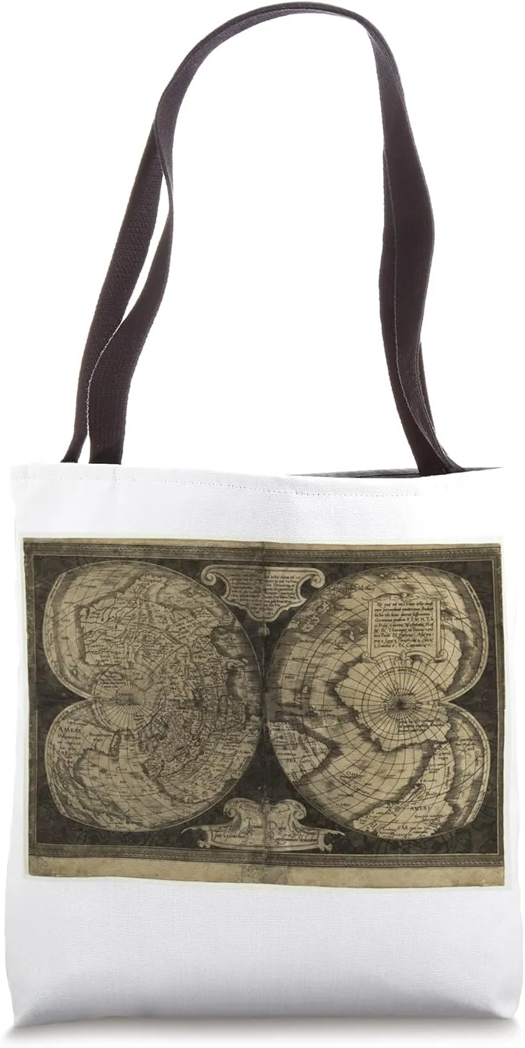
- Intricate double-hemisphere design showcasing early 17th-century geographical knowledge.
- Artistic border with elaborate engravings and Latin inscriptions.
- 16” x 16” bag with two 14” long and 1” wide black cotton webbing strap handles.
- Made of a lightweight, spun polyester canvas-like fabric.
- All seams and stress points are double-stitched for durability, and the reinforced bottom flattens to fit more items and hold larger objects.
- Spot clean/dry clean only.
This exquisite double-hemisphere map, created by Jan Gerritsz van den Keere in 1607, epitomizes the elegance and precision of early 17th-century cartography. Known for his intricate and beautifully detailed engravings, van den Keere's map offers a remarkable view of the world as understood during the age of exploration and early scientific inquiry. The map is distinguished by its two symmetrical hemispheres, each meticulously engraved to show the known geography of the time. The western hemisphere highlights the Americas with considerable detail, reflecting the growing European knowledge of the New World. The eastern hemisphere presents Europe, Africa, Asia, and parts of Oceania, showcasing the expansive reach of explorers and the cartographer's skill in compiling their discoveries. What sets this map apart is the artistic flourishes that frame the hemispheres. The elaborate border features intricate designs and Latin inscriptions, adding an element of grandeur and scholarly appeal. The top of the map includes decorative scrollwork and cartouches that house descriptive texts, providing context and emphasizing the intellectual environment in which this map was produced. The northern polar projection offers a unique perspective on the world, focusing on the Arctic regions and illustrating the era's fascination with polar exploration. The detailed rendering of coastlines, rivers, and mountain ranges demonstrates the precision and craftsmanship of van den Keere, making this map not only a tool for navigation and education but also a work of art. This map is a testament to the cartographic advancements of the early 1600s, reflecting both the expanding geographical knowledge of the period and the high artistic standards of Renaissance cartographers. It is an ideal piece for collectors of antique maps, historians, and enthusiasts of early modern art and science.
- Package Dimensions : 14.5 x 9.5 x 2 inches; 11.2 ounces
- Date First Available : May 29, 2024
- Manufacturer : one impossible thing


")

")


